 vesseltracker.com
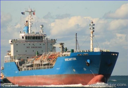
Vessel 'WINCANTON' IMO: 9212462, MMSI: 357800000
UTC, -33.48036, 151.83116, course: 340, speed: 10
UTC, -33.11856, 151.77284, course: 310, speed: 10.7
2026-02-14 11:31:25 UTC, -33.09979, 151.73286, course: 123, speed: 0.1
Live AIS position:
UTC. Near Caves Beach),
updated 2026-02-14 11:31:25 UTC.
Find the position of the vessel 'WINCANTON' on the map. The latter are known coordinates and path.
marine traffic ship tracker show on live map
The current position of vessel 'WINCANTON' is -33.09979 lat / 151.73286 lng. Updated: 2026-02-14 11:31:25 UTCDetails:
Last coordinates of the vessel:
UTC, -33.51547, 152.00562, course: 196, speed: 4.2UTC, -33.48036, 151.83116, course: 340, speed: 10
UTC, -33.11856, 151.77284, course: 310, speed: 10.7
2026-02-14 11:31:25 UTC, -33.09979, 151.73286, course: 123, speed: 0.1