 vesseltracker.com
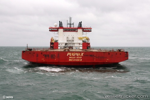
Vessel PUGNAX IMO: 9763849, MMSI: 563203800 Heavy Load Carrier
Live Vessel PUGNAX Analytics (details, animations, etc.)
Live AIS position: UTC. Near Tuas), updated 2025-12-24 08:59:00 UTC.Find the position of the vessel PUGNAX on the map. The latter are known coordinates and path.
marine traffic ship tracker show on live map
The current position of vessel PUGNAX is 1.29585 lat / 103.65692 lng. Updated: 2025-12-24 08:59:00 UTCCurrently sailing under the flag of Liberia
PUGNAX built in 2016 year
Deadweight:
28816 tDetails:
Last coordinates of the vessel:
2025-12-24 08:59:00 UTC, 1.29585, 103.65692, course: 229, speed: 0