 vesseltracker.com
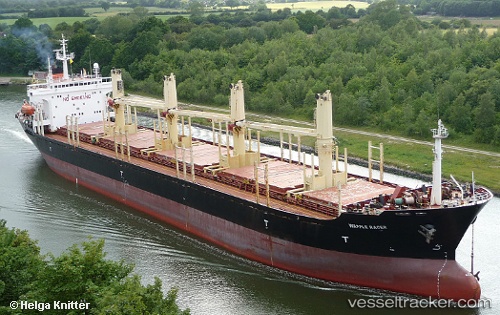
Find the position of the vessel Peace M on the map. The latter are known coordinates and path.
marine traffic ship tracker show on live map
The current position of vessel Peace M is 36.695633333333 lat / 36.191381666667 lng. Updated: 2025-10-15 21:01:03 UTCCurrently sailing under the flag of Palau
Peace M built in 1996 year
Deadweight:
0 tDetails:
Last coordinates of the vessel:
UTC, 36.605738333333, 36.138933333333, course: 155, speed: 0UTC, 36.680995, 36.17648, course: 339, speed: 3.2
UTC, 36.695696666667, 36.19138, course: 64, speed: 0
2025-10-15 21:01:03 UTC, 36.695633333333, 36.191381666667, course: 64, speed: 0
Track of the vessel in the last 14 days
The ship also appears on the maps: