 vesseltracker.com
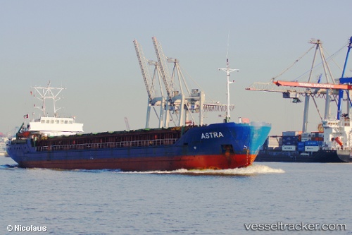
Vessel A S T R A IMO: 9041318, MMSI: 304010285 Multi Purpose Carrier
UTC, 56.54167, 21.03833, course: -1, speed: 0
UTC, 56.54288, 21.03849, course: 96, speed: 0
2026-02-14 01:55:41 UTC, 56.54290, 21.03852, course: 96, speed: 0
Live AIS position:
UTC. Near Cimdenieki),
updated 2026-02-14 01:55:41 UTC.
Find the position of the vessel A S T R A on the map. The latter are known coordinates and path.
marine traffic ship tracker show on live map
The current position of vessel A S T R A is 56.54290 lat / 21.03852 lng. Updated: 2026-02-14 01:55:41 UTCCurrently sailing under the flag of Antigua Barbuda
A S T R A built in 1993 year
Deadweight:
3582 tDetails:
Last coordinates of the vessel:
UTC, 56.54289, 21.03849, course: 95, speed: 0UTC, 56.54167, 21.03833, course: -1, speed: 0
UTC, 56.54288, 21.03849, course: 96, speed: 0
2026-02-14 01:55:41 UTC, 56.54290, 21.03852, course: 96, speed: 0