 vesseltracker.com
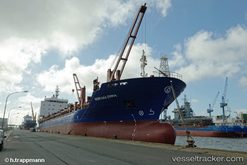
Vessel AIM IMO: 9261085, MMSI: 273253580 General Cargo Ship
Live Vessel AIM Analytics (details, animations, etc.)
Live AIS position: UTC. Near Murmansk), updated 2026-02-17 10:35:19 UTC.Find the position of the vessel AIM on the map. The latter are known coordinates and path.
marine traffic ship tracker show on live map
The current position of vessel AIM is 69.01791 lat / 33.02069 lng. Updated: 2026-02-17 10:35:19 UTCCurrently sailing under the flag of Russia
AIM built in 2005 year
Deadweight:
12792 tDetails:
Last coordinates of the vessel:
2026-02-17 10:35:19 UTC, 69.01791, 33.02069, course: 18, speed: 0