 vesseltracker.com
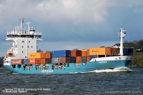
Vessel AMNAH IMO: 9126259, MMSI: 620999661 Container Ship
Live Vessel AMNAH Analytics (details, animations, etc.)
Live AIS position: UTC. 11 nm SE of Rumaithiya), updated 2025-08-28 13:33:53 UTC.Find the position of the vessel AMNAH on the map. The latter are known coordinates and path.
marine traffic ship tracker show on live map
The current position of vessel AMNAH is 29.19437 lat / 48.66652 lng. Updated: 2025-08-28 13:33:53 UTCCurrently sailing under the flag of Comoros
Details:
Last coordinates of the vessel:
2025-08-28 13:33:53 UTC, 29.19437, 48.66652, course: -1, speed: 9.3