 vesseltracker.com
Find the position of the vessel '538009121' on the map. The latter are known coordinates and path.
marine traffic ship tracker show on live map
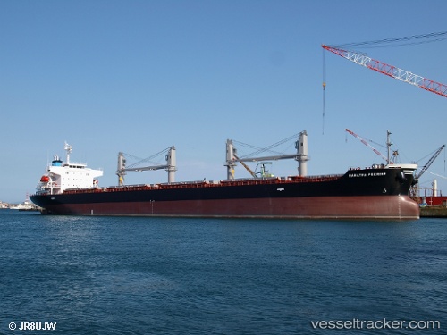
The current position of vessel '538009121' is 33.6034 lat / -7.61081 lng. Updated: 2025-06-08 06:04:28 UTCPort of registry:
Majuro (capital of the Marshall Islands)Payload_mass:
34930 tonneGross tonnage:
21547Service entry:
2016-01-01T00:00:00ZManufacturer:
Hakodate Dock (shipbuilding company in Japan)
Details:
Last coordinates of the vessel:
UTC, 33.6034, -7.61081, course: 329, speed: 0.1UTC, 33.6034, -7.61082, course: 329, speed: 0.1
UTC, 33.6034, -7.61081, course: 329, speed: 0
2025-06-08 06:04:28 UTC, 33.6034, -7.61081, course: 329, speed: 0