 vesseltracker.com
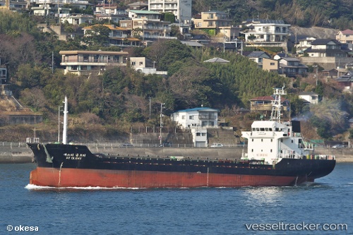
Vessel AYSTAR IMO: 9257204, MMSI: 572780220 Cargo
UTC, 32.84103, 31.30967, course: 341, speed: 6.9
UTC, 32.84103, 31.30967, course: 341, speed: 6.9
2026-03-08 02:59:22 UTC, 32.84103, 31.30967, course: 341, speed: 6.9
Live Vessel AYSTAR Analytics (details, animations, etc.)
Live AIS position: UTC. 64 nm N of Bnei Darom), updated 2026-03-08 02:59:22 UTC.Find the position of the vessel AYSTAR on the map. The latter are known coordinates and path.
marine traffic ship tracker show on live map
The current position of vessel AYSTAR is 32.84103 lat / 31.30967 lng. Updated: 2026-03-08 02:59:22 UTCCurrently sailing under the flag of Tuvalu
Details:
Last coordinates of the vessel:
UTC, 32.66055, 31.39069, course: 341, speed: 6.8UTC, 32.84103, 31.30967, course: 341, speed: 6.9
UTC, 32.84103, 31.30967, course: 341, speed: 6.9
2026-03-08 02:59:22 UTC, 32.84103, 31.30967, course: 341, speed: 6.9