 vesseltracker.com
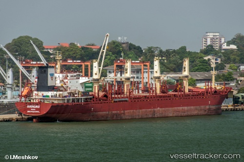
Vessel ARGO I IMO: 9583897, MMSI: 370543000 Bulk Carrier
UTC, 26.54904, 56.51073, course: 84, speed: 11.9
UTC, 26.09220, 56.67295, course: 176, speed: 11
2026-02-25 14:28:11 UTC, 25.62161, 56.73059, course: 184, speed: 12.2
Live AIS position:
UTC. 23 nm N of Offshore Fujairah),
updated 2026-02-25 14:28:11 UTC.
Find the position of the vessel ARGO I on the map. The latter are known coordinates and path.
marine traffic ship tracker show on live map
The current position of vessel ARGO I is 25.62161 lat / 56.73059 lng. Updated: 2026-02-25 14:28:11 UTCCurrently sailing under the flag of Panama
ARGO I built in 2010 year
Deadweight:
32790 tDetails:
Last coordinates of the vessel:
UTC, 26.43977, 56.27241, course: 52, speed: 13.2UTC, 26.54904, 56.51073, course: 84, speed: 11.9
UTC, 26.09220, 56.67295, course: 176, speed: 11
2026-02-25 14:28:11 UTC, 25.62161, 56.73059, course: 184, speed: 12.2