 vesseltracker.com
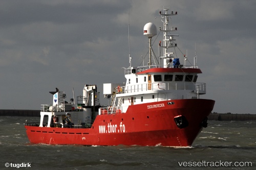
Vessel Aas Provider IMO: 8971633, MMSI: 257022550 Research Vessel
Live AIS position:
UTC. Near Brattvåg),
updated 2025-09-30 03:01:44 UTC.
Find the position of the vessel Aas Provider on the map. The latter are known coordinates and path.
marine traffic ship tracker show on live map
The current position of vessel Aas Provider is 62.60099 lat / 6.44695 lng. Updated: 2025-09-30 03:01:44 UTCCurrently sailing under the flag of Norway
Aas Provider built in 2000 year
Deadweight:
533 tDetails:
Last coordinates of the vessel:
2025-09-30 03:01:44 UTC, 62.60099, 6.44695, course: 204, speed: 0