 vesseltracker.com
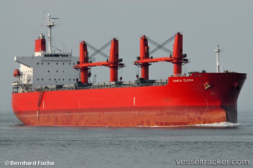
Vessel Abdul Hamid IMO: 9329837, MMSI: 525120009 Bulk Carrier
UTC, -4.31478, 123.31668, course: 3, speed: 11.8
UTC, -4.31478, 123.31668, course: 3, speed: 11.8
2026-02-25 15:45:36 UTC, -3.43341, 123.13587, course: 313, speed: 11.9
Live AIS position:
UTC. 47 nm NE of KENDARI),
updated 2026-02-25 15:45:36 UTC.
Find the position of the vessel Abdul Hamid on the map. The latter are known coordinates and path.
marine traffic ship tracker show on live map
The current position of vessel Abdul Hamid is -3.43341 lat / 123.13587 lng. Updated: 2026-02-25 15:45:36 UTCCurrently sailing under the flag of Indonesia
Abdul Hamid built in 2005 year
Deadweight:
56011 tDetails:
Last coordinates of the vessel:
UTC, -5.72021, 120.88202, course: 90, speed: 11.9UTC, -4.31478, 123.31668, course: 3, speed: 11.8
UTC, -4.31478, 123.31668, course: 3, speed: 11.8
2026-02-25 15:45:36 UTC, -3.43341, 123.13587, course: 313, speed: 11.9