 vesseltracker.com
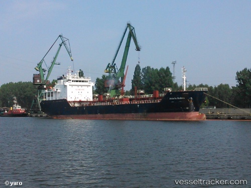
Vessel Acacia Rubra IMO: 9468530, MMSI: 249374000 Bitumen Tanker
Live AIS position:
UTC. Near BOSASO),
updated 2025-11-29 05:20:15 UTC.
Find the position of the vessel Acacia Rubra on the map. The latter are known coordinates and path.
marine traffic ship tracker show on live map
The current position of vessel Acacia Rubra is 11.32000 lat / 49.12333 lng. Updated: 2025-11-29 05:20:15 UTCCurrently sailing under the flag of Malta
Acacia Rubra built in 2011 year
Deadweight:
6065 tDetails:
Last coordinates of the vessel:
2025-11-29 05:20:15 UTC, 11.32000, 49.12333, course: -1, speed: 17