 vesseltracker.com
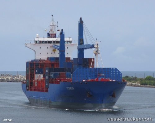
Vessel DUBAI TOWER IMO: 9433066, MMSI: 636024582 Container Ship
UTC, 18.04007, 111.55993, course: 41, speed: 13.2
UTC, 18.04007, 111.55993, course: 41, speed: 13.2
2026-03-14 02:30:23 UTC, 18.04007, 111.55993, course: 41, speed: 13.2
Live Vessel DUBAI TOWER Analytics (details, animations, etc.)
Live AIS position: UTC. 81 nm SE of Houan), updated 2026-03-14 02:30:23 UTC.Find the position of the vessel DUBAI TOWER on the map. The latter are known coordinates and path.
marine traffic ship tracker show on live map
The current position of vessel DUBAI TOWER is 18.04007 lat / 111.55993 lng. Updated: 2026-03-14 02:30:23 UTCCurrently sailing under the flag of Liberia
Details:
Last coordinates of the vessel:
UTC, 17.84670, 111.39813, course: 40, speed: 12.7UTC, 18.04007, 111.55993, course: 41, speed: 13.2
UTC, 18.04007, 111.55993, course: 41, speed: 13.2
2026-03-14 02:30:23 UTC, 18.04007, 111.55993, course: 41, speed: 13.2