 vesseltracker.com
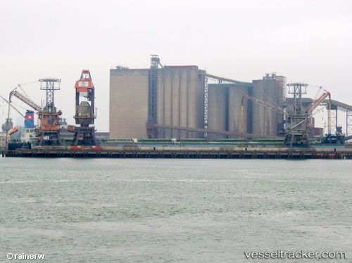
Vessel Ad Astra IMO: 9696400, MMSI: 538006097 Bulk Carrier
UTC, 21.65059, 115.60495, course: 288, speed: 11.7
UTC, 21.86942, 114.97873, course: 297, speed: 11.8
2026-02-25 03:32:58 UTC, 21.96516, 114.79428, course: 293, speed: 11.8
Live AIS position:
UTC. 33 nm E of Wan Tsai),
updated 2026-02-25 03:32:58 UTC.
Find the position of the vessel Ad Astra on the map. The latter are known coordinates and path.
marine traffic ship tracker show on live map
The current position of vessel Ad Astra is 21.96516 lat / 114.79428 lng. Updated: 2026-02-25 03:32:58 UTCCurrently sailing under the flag of Marshall Is
Details:
Last coordinates of the vessel:
UTC, 21.53112, 115.99847, course: 289, speed: 11.8UTC, 21.65059, 115.60495, course: 288, speed: 11.7
UTC, 21.86942, 114.97873, course: 297, speed: 11.8
2026-02-25 03:32:58 UTC, 21.96516, 114.79428, course: 293, speed: 11.8