 vesseltracker.com
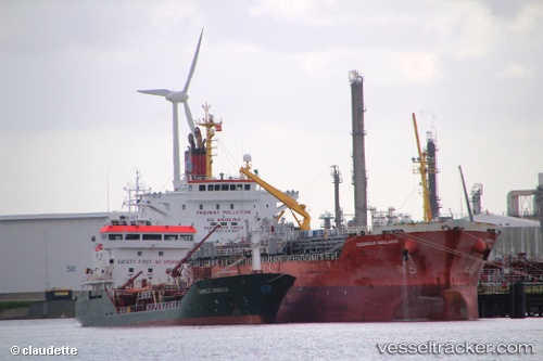
Vessel Adelaide IMO: 9597721, MMSI: 566018000 Chemical Oil Products Tanker
UTC, 14.14302, 114.45697, course: 226, speed: 11.1
UTC, 14.14302, 114.45697, course: 226, speed: 11.1
2026-03-06 03:35:00 UTC, 13.45910, 113.84890, course: -1, speed: 12.3
Live Vessel Adelaide Analytics (details, animations, etc.)
Live AIS position: UTC. 235 nm E of Tan Cang Qui Nhon), updated 2026-03-06 03:35:00 UTC.Find the position of the vessel Adelaide on the map. The latter are known coordinates and path.
marine traffic ship tracker show on live map
The current position of vessel Adelaide is 13.45910 lat / 113.84890 lng. Updated: 2026-03-06 03:35:00 UTCDetails:
Last coordinates of the vessel:
UTC, 14.36577, 114.65997, course: 223, speed: 12.4UTC, 14.14302, 114.45697, course: 226, speed: 11.1
UTC, 14.14302, 114.45697, course: 226, speed: 11.1
2026-03-06 03:35:00 UTC, 13.45910, 113.84890, course: -1, speed: 12.3