 vesseltracker.com
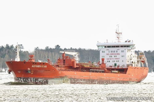
Vessel ATLANTIC SPIRIT IMO: 9580974, MMSI: 538008872 Chemical/Oil Products Tanker
Live AIS position:
UTC. Near Montréal-Est),
updated 2026-01-09 04:17:46 UTC.
Find the position of the vessel ATLANTIC SPIRIT on the map. The latter are known coordinates and path.
marine traffic ship tracker show on live map
The current position of vessel ATLANTIC SPIRIT is 45.61239 lat / -73.50585 lng. Updated: 2026-01-09 04:17:46 UTCCurrently sailing under the flag of Marshall Islands
ATLANTIC SPIRIT built in 2011 year
Deadweight:
19131 tDetails:
Last coordinates of the vessel:
2026-01-09 04:17:46 UTC, 45.61239, -73.50585, course: 196, speed: 0