 vesseltracker.com
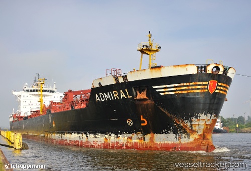
Vessel K M A IMO: 9234616, MMSI: 518998425 Chemical/Oil Products Tanker
Live AIS position:
UTC. Near Sharjah),
updated 2024-07-28 09:26:03 UTC.
Find the position of the vessel K M A on the map. The latter are known coordinates and path.
marine traffic ship tracker show on live map
The current position of vessel K M A is 25.36917 lat / 55.37878 lng. Updated: 2024-07-28 09:26:03 UTCCurrently sailing under the flag of Cook islands
K M A built in 2002 year
Deadweight:
23998 tDetails:
Last coordinates of the vessel:
2024-07-28 09:26:03 UTC, 25.36917, 55.37878, course: 56, speed: 0