 vesseltracker.com
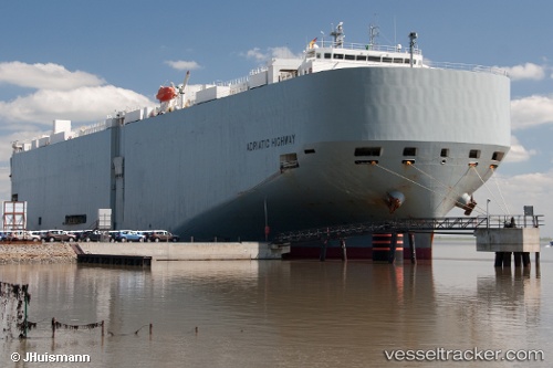
Vessel Adriatic Highway IMO: 9442885, MMSI: 432665000 Vehicles Carrier
UTC, 21.85935, -163.68018, course: 279, speed: 18.8
UTC, 22.07020, -164.54874, course: 291, speed: 19.8
2026-02-25 23:01:06 UTC, 22.13185, -164.75816, course: 290, speed: 19.9
Live AIS position:
UTC. 283 nm W of Waimea),
updated 2026-02-25 23:01:06 UTC.
Find the position of the vessel Adriatic Highway on the map. The latter are known coordinates and path.
marine traffic ship tracker show on live map
The current position of vessel Adriatic Highway is 22.13185 lat / -164.75816 lng. Updated: 2026-02-25 23:01:06 UTCDetails:
Last coordinates of the vessel:
UTC, 21.81053, -163.21619, course: 277, speed: 19.2UTC, 21.85935, -163.68018, course: 279, speed: 18.8
UTC, 22.07020, -164.54874, course: 291, speed: 19.8
2026-02-25 23:01:06 UTC, 22.13185, -164.75816, course: 290, speed: 19.9