 vesseltracker.com
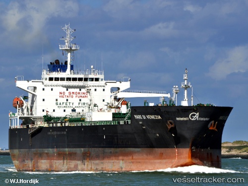
Vessel Aegea IMO: 9326500, MMSI: 215004000 Chemical Oil Products Tanker
UTC, 36.40702, 14.63669, course: 290, speed: 10.6
UTC, 36.51471, 14.33990, course: 290, speed: 10.8
2026-02-21 14:23:04 UTC, 36.67716, 13.83208, course: 293, speed: 10.2
Live AIS position:
UTC. 25 nm S of Licata),
updated 2026-02-21 14:23:04 UTC.
Find the position of the vessel Aegea on the map. The latter are known coordinates and path.
marine traffic ship tracker show on live map
The current position of vessel Aegea is 36.67716 lat / 13.83208 lng. Updated: 2026-02-21 14:23:04 UTCDetails:
Last coordinates of the vessel:
UTC, 36.28945, 15.09225, course: 282, speed: 11.7UTC, 36.40702, 14.63669, course: 290, speed: 10.6
UTC, 36.51471, 14.33990, course: 290, speed: 10.8
2026-02-21 14:23:04 UTC, 36.67716, 13.83208, course: 293, speed: 10.2