 vesseltracker.com
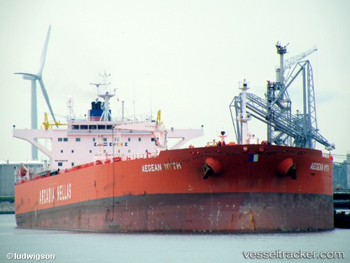
Vessel LUCKY FAIRY IMO: 9348479, MMSI: 352003437 Crude Oil Tanker
Live AIS position:
UTC. Open sea (no nearby ports in database)),
updated 2026-02-02 13:01:35 UTC.
Find the position of the vessel LUCKY FAIRY on the map. The latter are known coordinates and path.
marine traffic ship tracker show on live map
The current position of vessel LUCKY FAIRY is -87.32585 lat / 11.57835 lng. Updated: 2026-02-02 13:01:35 UTCCurrently sailing under the flag of Panama
LUCKY FAIRY built in 2006 year
Deadweight:
115838 tDetails:
Last coordinates of the vessel:
2026-02-02 13:01:35 UTC, -87.32585, 11.57835, course: 65, speed: 20.2