 vesseltracker.com
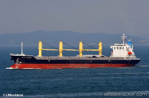
Vessel V CETUS IMO: 9370381, MMSI: 352005023 Bulk Carrier
UTC, 29.66167, -88.49667, course: -1, speed: 8
UTC, 29.88833, -88.37667, course: -1, speed: 11
2026-02-25 04:11:02 UTC, 30.06857, -88.10770, course: 231, speed: 0.4
Live AIS position:
UTC. 11 nm S of DAUPHIN ISLAND),
updated 2026-02-25 04:11:02 UTC.
Find the position of the vessel V CETUS on the map. The latter are known coordinates and path.
marine traffic ship tracker show on live map
The current position of vessel V CETUS is 30.06857 lat / -88.10770 lng. Updated: 2026-02-25 04:11:02 UTCCurrently sailing under the flag of Panama
Details:
Last coordinates of the vessel:
UTC, 29.54667, -88.54667, course: -1, speed: 1UTC, 29.66167, -88.49667, course: -1, speed: 8
UTC, 29.88833, -88.37667, course: -1, speed: 11
2026-02-25 04:11:02 UTC, 30.06857, -88.10770, course: 231, speed: 0.4