 vesseltracker.com
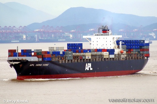
Vessel PORTO GERMENO IMO: 9260902, MMSI: 636020870 Container Ship
UTC, 36.18067, -20.78850, course: 38, speed: 15.4
UTC, 36.18067, -20.78850, course: 38, speed: 15.4
2026-02-25 21:32:00 UTC, 36.84552, -20.10588, course: 37, speed: 14.6
Live AIS position:
UTC. 129 nm E of Campohermoso),
updated 2026-02-25 21:32:00 UTC.
Find the position of the vessel PORTO GERMENO on the map. The latter are known coordinates and path.
marine traffic ship tracker show on live map
The current position of vessel PORTO GERMENO is 36.84552 lat / -20.10588 lng. Updated: 2026-02-25 21:32:00 UTCCurrently sailing under the flag of Liberia
PORTO GERMENO built in 2002 year
Deadweight:
67009 tDetails:
Last coordinates of the vessel:
UTC, 35.83092, -21.15191, course: 38, speed: 15.3UTC, 36.18067, -20.78850, course: 38, speed: 15.4
UTC, 36.18067, -20.78850, course: 38, speed: 15.4
2026-02-25 21:32:00 UTC, 36.84552, -20.10588, course: 37, speed: 14.6