 vesseltracker.com
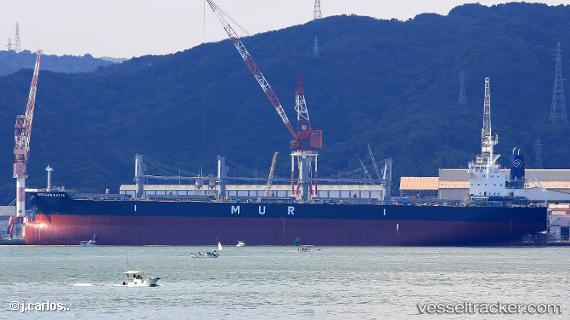
Vessel African Batis IMO: 9806110, MMSI: 352681000 Bulk Carrier
UTC, -28.79295, 32.05048, course: -1, speed: 0
UTC, -28.79291, 32.05053, course: -1, speed: 0
2026-02-27 01:26:57 UTC, -28.79292, 32.05057, course: 181, speed: 0
Live AIS position:
UTC. Near Alton),
updated 2026-02-27 01:26:57 UTC.
Find the position of the vessel African Batis on the map. The latter are known coordinates and path.
marine traffic ship tracker show on live map
The current position of vessel African Batis is -28.79292 lat / 32.05057 lng. Updated: 2026-02-27 01:26:57 UTCCurrently sailing under the flag of Panama
Details:
Last coordinates of the vessel:
UTC, -28.79296, 32.05053, course: -1, speed: 0UTC, -28.79295, 32.05048, course: -1, speed: 0
UTC, -28.79291, 32.05053, course: -1, speed: 0
2026-02-27 01:26:57 UTC, -28.79292, 32.05057, course: 181, speed: 0