 vesseltracker.com
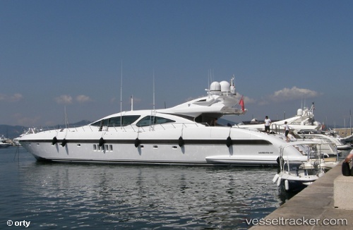
Vessel PLAN A IMO: 8742525, MMSI: 256002231 Houseboat
UTC, 39.56179, 2.63801, course: 324, speed: 0
UTC, 39.56176, 2.63806, course: 324, speed: 0
2026-03-09 15:55:29 UTC, 39.56174, 2.63801, course: -1, speed: 0
Live Vessel PLAN A Analytics (details, animations, etc.)
Live AIS position: UTC. Near PALMA DE MALLORCA), updated 2026-03-09 15:55:29 UTC.Find the position of the vessel PLAN A on the map. The latter are known coordinates and path.
marine traffic ship tracker show on live map
The current position of vessel PLAN A is 39.56174 lat / 2.63801 lng. Updated: 2026-03-09 15:55:29 UTCCurrently sailing under the flag of Malta
PLAN A built in 2007 year
Deadweight:
0 tDetails:
Last coordinates of the vessel:
UTC, 39.56171, 2.63805, course: 324, speed: 0UTC, 39.56179, 2.63801, course: 324, speed: 0
UTC, 39.56176, 2.63806, course: 324, speed: 0
2026-03-09 15:55:29 UTC, 39.56174, 2.63801, course: -1, speed: 0