 vesseltracker.com
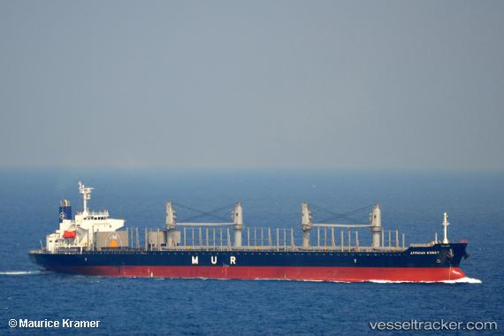
Vessel MANTA URAZ IMO: 9749996, MMSI: 538011295 Cargo
UTC, 24.38381, -93.19522, course: 103, speed: 9.1
UTC, 24.22246, -92.84114, course: 100, speed: 8.2
2026-03-17 05:09:07 UTC, 24.14290, -92.63755, course: 102, speed: 8.8
Live Vessel MANTA URAZ Analytics (details, animations, etc.)
Live AIS position: UTC. 121 nm W of Munshiganj), updated 2026-03-17 05:09:07 UTC.Find the position of the vessel MANTA URAZ on the map. The latter are known coordinates and path.
marine traffic ship tracker show on live map
The current position of vessel MANTA URAZ is 24.14290 lat / -92.63755 lng. Updated: 2026-03-17 05:09:07 UTCCurrently sailing under the flag of Marshall Islands
Details:
Last coordinates of the vessel:
UTC, 24.45822, -93.35816, course: 103, speed: 8.1UTC, 24.38381, -93.19522, course: 103, speed: 9.1
UTC, 24.22246, -92.84114, course: 100, speed: 8.2
2026-03-17 05:09:07 UTC, 24.14290, -92.63755, course: 102, speed: 8.8