 vesseltracker.com
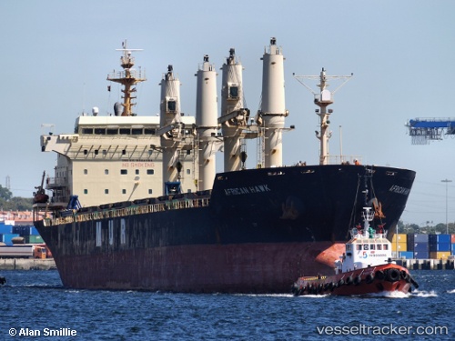
Vessel EAGLE TRADER IMO: 9284362, MMSI: 314643000 Bulk Carrier
Live AIS position:
UTC. Near Ekonomiya),
updated 2024-09-26 11:07:52 UTC.
Find the position of the vessel EAGLE TRADER on the map. The latter are known coordinates and path.
marine traffic ship tracker show on live map
The current position of vessel EAGLE TRADER is 64.70265 lat / 40.52821 lng. Updated: 2024-09-26 11:07:52 UTCCurrently sailing under the flag of Barbados
EAGLE TRADER built in 2004 year
Deadweight:
27101 tDetails:
Last coordinates of the vessel:
2024-09-26 11:07:52 UTC, 64.70265, 40.52821, course: 352, speed: 0