 vesseltracker.com
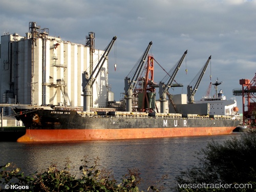
Vessel ABDULLAH M IMO: 9295579, MMSI: 341115002 Bulk Carrier
UTC, 40.38204, 27.97509, course: 54, speed: 0
UTC, 40.38199, 27.97513, course: 52, speed: 0
2026-03-17 04:22:28 UTC, 40.38171, 27.97548, course: 40, speed: 0
Live Vessel ABDULLAH M Analytics (details, animations, etc.)
Live AIS position: UTC. Near Erdek), updated 2026-03-17 04:22:28 UTC.Find the position of the vessel ABDULLAH M on the map. The latter are known coordinates and path.
marine traffic ship tracker show on live map
The current position of vessel ABDULLAH M is 40.38171 lat / 27.97548 lng. Updated: 2026-03-17 04:22:28 UTCCurrently sailing under the flag of Saint Kitts and Nevis
Details:
Last coordinates of the vessel:
UTC, 40.38186, 27.97524, course: 48, speed: 0UTC, 40.38204, 27.97509, course: 54, speed: 0
UTC, 40.38199, 27.97513, course: 52, speed: 0
2026-03-17 04:22:28 UTC, 40.38171, 27.97548, course: 40, speed: 0