 vesseltracker.com
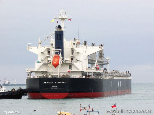
Vessel African Starling IMO: 9636436, MMSI: 311000239 Bulk Carrier
UTC, -32.18366, 115.69513, course: 201, speed: 0.1
UTC, -32.18397, 115.69574, course: 226, speed: 0.1
2026-02-27 07:37:45 UTC, -32.18358, 115.69510, course: 193, speed: 0
Live AIS position:
UTC. Near Naval Base),
updated 2026-02-27 07:37:45 UTC.
Find the position of the vessel African Starling on the map. The latter are known coordinates and path.
marine traffic ship tracker show on live map
The current position of vessel African Starling is -32.18358 lat / 115.69510 lng. Updated: 2026-02-27 07:37:45 UTCDetails:
Last coordinates of the vessel:
UTC, -32.18363, 115.69498, course: 195, speed: 0UTC, -32.18366, 115.69513, course: 201, speed: 0.1
UTC, -32.18397, 115.69574, course: 226, speed: 0.1
2026-02-27 07:37:45 UTC, -32.18358, 115.69510, course: 193, speed: 0