 vesseltracker.com
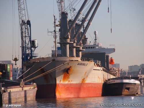
Vessel LADY PERLA IMO: 9149732, MMSI: 636021219 General Cargo Ship
Live Vessel LADY PERLA Analytics (details, animations, etc.)
Live AIS position: UTC. Near Sarköy), updated 2025-11-15 01:16:17 UTC.Find the position of the vessel LADY PERLA on the map. The latter are known coordinates and path.
marine traffic ship tracker show on live map
The current position of vessel LADY PERLA is 40.62859 lat / 27.26442 lng. Updated: 2025-11-15 01:16:17 UTCCurrently sailing under the flag of Liberia
LADY PERLA built in 1997 year
Deadweight:
23923 tDetails:
Last coordinates of the vessel:
2025-11-15 01:16:17 UTC, 40.62859, 27.26442, course: 243, speed: 11.2