 vesseltracker.com
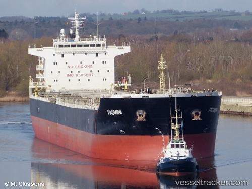
Vessel Agia Ypomoni IMO: 9500297, MMSI: 636019130 Bulk Carrier
UTC, 37.18168, -76.12616, course: 332, speed: 0
UTC, 37.18404, -76.12521, course: 247, speed: 0.1
2026-02-24 19:27:52 UTC, 37.18532, -76.12753, course: 183, speed: 0
Live AIS position:
UTC. 11 nm NE of Poquoson),
updated 2026-02-24 19:27:52 UTC.
Find the position of the vessel Agia Ypomoni on the map. The latter are known coordinates and path.
marine traffic ship tracker show on live map
The current position of vessel Agia Ypomoni is 37.18532 lat / -76.12753 lng. Updated: 2026-02-24 19:27:52 UTCCurrently sailing under the flag of Liberia
Agia Ypomoni built in 2012 year
Deadweight:
75700 tDetails:
Last coordinates of the vessel:
UTC, 37.18181, -76.12587, course: -1, speed: 0.1UTC, 37.18168, -76.12616, course: 332, speed: 0
UTC, 37.18404, -76.12521, course: 247, speed: 0.1
2026-02-24 19:27:52 UTC, 37.18532, -76.12753, course: 183, speed: 0