vessel MANALAGI ENZI IMO: 9217929, vesseltracker.com
Vessel MANALAGI ENZI IMO: 9217929,
MMSI: 525800691 callsign: size: x

Find the position of the vessel MANALAGI ENZI on the map. The latter are known coordinates and path.

marine traffic ship tracker show on live map

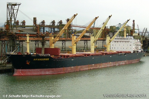
The current position of vessel MANALAGI ENZI is -3.84525 lat / 115.902 lng. Updated: 2024-04-26 17:13:30 UTC
Payload_mass:
50220 tonne
Gross tonnage:
28693
Service entry:
2002-01-01T00:00:00Z
Details:


Last coordinates of the vessel:
UTC, -3.84633, 115.902, course: 87, speed: 0
UTC, -3.8457, 115.902, course: 108, speed: 0
UTC, -3.84536, 115.902, course: 126, speed: 0
2024-04-26 17:13:30 UTC, -3.84525, 115.902, course: 130, speed: 0

Track of the vessel in the last 14 days


Most frequent ports a vessels calls at MANALAGI ENZI (525800691):

Selat Lombok, traffic: 8
Tjilatjap, traffic: 4
Balikpapan, traffic: 2
Padang, traffic: 2
Telukbayur, traffic: 2
Selat Sunda, traffic: 1

Link to the map:


Find another ship

MANALAGI_ENZI (525800691) last ports (portcalls and passsages)

Senipah Oil Terminal | 2022-11-01 23:30:12
Senipah Oil Terminal | 2022-10-28 22:51:28
Selat Sunda | 2022-06-05 16:11:22
Padang | 2022-06-03 13:10:04
Padang | 2022-05-30 13:04:00
Selat Lombok | 2022-05-16 07:50:35
Selat Lombok | 2022-02-23 02:00:50
Tjilatjap | 2022-01-22 17:50:07
Selat Lombok | 2022-01-20 15:25:19
Balikpapan | 2022-01-17 07:19:47
Selat Lombok | 2022-01-14 18:55:30
Tjilatjap | 2022-01-10 04:10:22
Selat Lombok | 2022-01-08 07:23:18
Senipah Oil Terminal | 2022-01-02 21:01:33