 vesseltracker.com
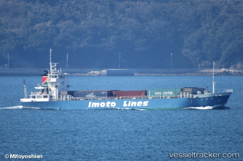
Vessel HIROAN IMO: 9250347, MMSI: 352004437 Cargo
UTC, 38.95978, 118.05087, course: 39, speed: 0
UTC, 38.95967, 118.05102, course: 25, speed: 0
2026-03-01 23:39:48 UTC, 38.96016, 118.05058, course: 92, speed: 0
Live AIS position:
UTC. Near Dagu Bar),
updated 2026-03-01 23:39:48 UTC.
Find the position of the vessel HIROAN on the map. The latter are known coordinates and path.
marine traffic ship tracker show on live map
The current position of vessel HIROAN is 38.96016 lat / 118.05058 lng. Updated: 2026-03-01 23:39:48 UTCCurrently sailing under the flag of Panama
Details:
Last coordinates of the vessel:
UTC, 38.96011, 118.05065, course: 71, speed: 0UTC, 38.95978, 118.05087, course: 39, speed: 0
UTC, 38.95967, 118.05102, course: 25, speed: 0
2026-03-01 23:39:48 UTC, 38.96016, 118.05058, course: 92, speed: 0