 vesseltracker.com
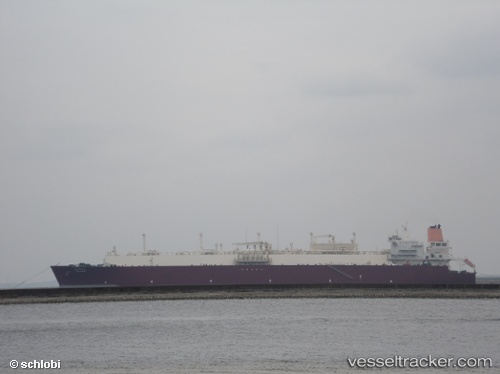
Find the position of the vessel Al Hamla on the map. The latter are known coordinates and path.
marine traffic ship tracker show on live map
The current position of vessel Al Hamla is -35.24600 lat / 22.38568 lng. Updated: 2025-11-14 05:57:32 UTCCurrently sailing under the flag of Marshall Is
Al Hamla built in 2008 year
Deadweight:
107514 tDetails:
Last coordinates of the vessel:
UTC, -35.30788, 21.42456, course: 87, speed: 15.5UTC, -35.28601, 21.82617, course: 83, speed: 15.6
UTC, -35.26904, 22.05687, course: 83, speed: 15.5
2025-11-14 05:57:32 UTC, -35.24600, 22.38568, course: 83, speed: 15.5
Track of the vessel in the last 14 days
The ship also appears on the maps: