 vesseltracker.com
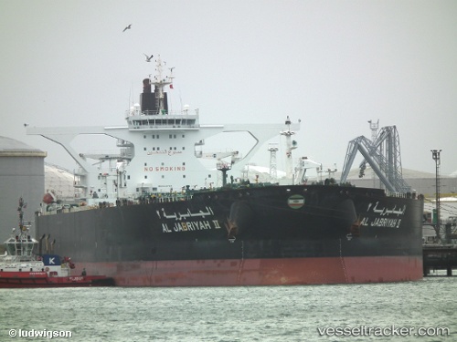
Find the position of the vessel Al Jabriyah Ii on the map. The latter are known coordinates and path.
marine traffic ship tracker show on live map
The current position of vessel Al Jabriyah Ii is 6.09646 lat / 91.3384 lng. Updated: 2024-04-25 22:32:02 UTCPort of registry:
Kuwait City (capital of Kuwait)Payload_mass:
317570 tonneGross tonnage:
161113Service entry:
2007-01-01T00:00:00ZManufacturer:
Hyundai Heavy Industries (company)
Details:
Last coordinates of the vessel:
UTC, 6.09893, 91.4521, course: 266, speed: 12.5UTC, 6.09893, 91.4521, course: 266, speed: 12.5
UTC, 6.09646, 91.3384, course: 267, speed: 12.8
2024-04-25 22:32:02 UTC, 6.09646, 91.3384, course: 267, speed: 12.8