 vesseltracker.com
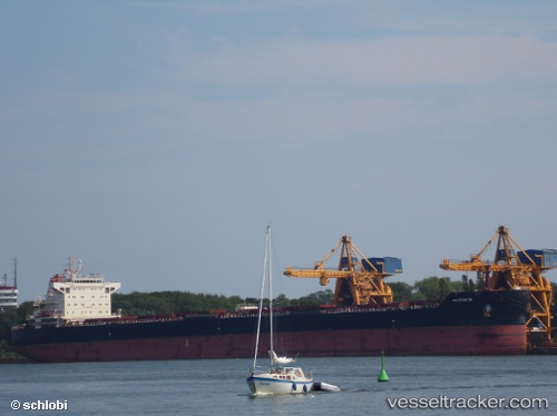
Find the position of the vessel Am Krakow on the map. The latter are known coordinates and path.
marine traffic ship tracker show on live map
The current position of vessel Am Krakow is 54.6759 lat / 5.21802 lng. Updated: 2025-06-13 19:01:10 UTCCurrently sailing under the flag of Marshall Is
Am Krakow built in 2013 year
Port of registry:
Majuro (capital of the Marshall Islands)Speed:
15 knotDeadweight:
81752 tPayload_mass:
81500 tonneGross tonnage:
43987Operator:
Anglo-Eastern Ship ManagementService entry:
2013-01-01T00:00:00ZDetails:
Last coordinates of the vessel:
UTC, 54.069, 4.66869, course: 21, speed: 12.1UTC, 54.3396, 4.87181, course: 32, speed: 12.2
UTC, 54.4511, 4.9864, course: 31, speed: 12.4
2025-06-13 19:01:10 UTC, 54.6759, 5.21802, course: 29, speed: 12.5