 vesseltracker.com
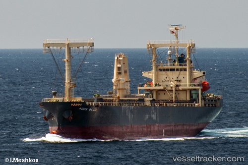
Find the position of the vessel Aqua Blue on the map. The latter are known coordinates and path.
marine traffic ship tracker show on live map
The current position of vessel Aqua Blue is 34.5875 lat / 119.613 lng. Updated: 2025-05-08 06:03:43 UTCCurrently sailing under the flag of Panama
Port of registry:
Panama City (capital of Panama)Payload_mass:
13324 tonneGross tonnage:
9983Service entry:
2005-01-01T00:00:00ZDetails:
Last coordinates of the vessel:
UTC, 34.5875, 119.613, course: 115, speed: 0UTC, 34.5874, 119.613, course: 115, speed: 0
UTC, 34.5875, 119.613, course: 115, speed: 0
2025-05-08 06:03:43 UTC, 34.5875, 119.613, course: 115, speed: 0