 vesseltracker.com
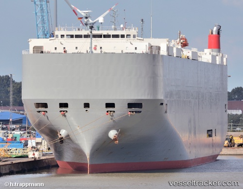
Find the position of the vessel Athens Highway on the map. The latter are known coordinates and path.
marine traffic ship tracker show on live map
The current position of vessel Athens Highway is 22.54525 lat / -114.38910 lng. Updated: 2025-10-30 19:07:52 UTCCurrently sailing under the flag of Japan
Athens Highway built in 2008 year
Deadweight:
18809 tDetails:
Last coordinates of the vessel:
UTC, 22.94301, -115.35593, course: 112, speed: 17.2UTC, 22.78280, -114.96805, course: 115, speed: 17.1
UTC, 22.74248, -114.87357, course: 112, speed: 17.3
2025-10-30 19:07:52 UTC, 22.54525, -114.38910, course: 114, speed: 17.2
Track of the vessel in the last 14 days
The ship also appears on the maps: