 vesseltracker.com
Find the position of the vessel Atlantic on the map. The latter are known coordinates and path.
marine traffic ship tracker show on live map
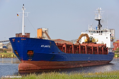
The current position of vessel Atlantic is 18.49794 lat / -69.87307 lng. Updated: 2025-10-30 06:44:23 UTCCurrently sailing under the flag of St Kitts Nevis
Atlantic built in 1980 year
Deadweight:
3041 tDetails:
Last coordinates of the vessel:
UTC, 18.49801, -69.87304, course: 106, speed: 0UTC, 18.49799, -69.87302, course: 106, speed: 0
UTC, 18.49800, -69.87301, course: 106, speed: 0
2025-10-30 06:44:23 UTC, 18.49794, -69.87307, course: 106, speed: 0