 vesseltracker.com
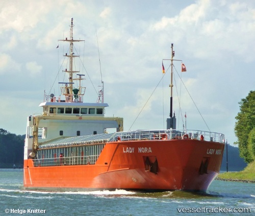
Vessel BALTIC EXPRESS IMO: 9243851, MMSI: 341412000 General Cargo Ship
UTC, 56.87739, 10.55877, course: 138, speed: 9.3
UTC, 56.67203, 10.92060, course: 125, speed: 8.3
2026-02-12 00:14:15 UTC, 56.29093, 11.07103, course: 177, speed: 9.1
Live AIS position:
UTC. Near Grena),
updated 2026-02-12 00:14:15 UTC.
Find the position of the vessel BALTIC EXPRESS on the map. The latter are known coordinates and path.
marine traffic ship tracker show on live map
The current position of vessel BALTIC EXPRESS is 56.29093 lat / 11.07103 lng. Updated: 2026-02-12 00:14:15 UTCCurrently sailing under the flag of St.Kitts and Nevis
BALTIC EXPRESS built in 2001 year
Deadweight:
3002 tDetails:
Last coordinates of the vessel:
UTC, 56.96729, 10.35743, course: 112, speed: 6.8UTC, 56.87739, 10.55877, course: 138, speed: 9.3
UTC, 56.67203, 10.92060, course: 125, speed: 8.3
2026-02-12 00:14:15 UTC, 56.29093, 11.07103, course: 177, speed: 9.1