 vesseltracker.com
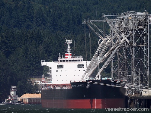
Vessel BELMONTE IMO: 9687124, MMSI: 636093013 Bulk Carrier
UTC, 26.95183, -87.97696, course: 320, speed: 10
UTC, 27.19658, -88.13392, course: 310, speed: 8.4
2026-02-03 11:24:25 UTC, 27.19658, -88.13392, course: 310, speed: 8.4
Live AIS position:
UTC. 121 nm SE of Port Eads),
updated 2026-02-03 11:24:25 UTC.
Find the position of the vessel BELMONTE on the map. The latter are known coordinates and path.
marine traffic ship tracker show on live map
The current position of vessel BELMONTE is 27.19658 lat / -88.13392 lng. Updated: 2026-02-03 11:24:25 UTCCurrently sailing under the flag of Liberia
BELMONTE built in 2014 year
Deadweight:
81344 tDetails:
Last coordinates of the vessel:
UTC, 26.63991, -87.76932, course: 328, speed: 9.7UTC, 26.95183, -87.97696, course: 320, speed: 10
UTC, 27.19658, -88.13392, course: 310, speed: 8.4
2026-02-03 11:24:25 UTC, 27.19658, -88.13392, course: 310, speed: 8.4