 vesseltracker.com
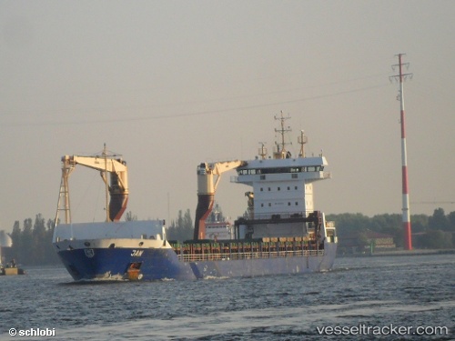
Vessel BERING IMO: 9267297, MMSI: 273437510 Container Ship
UTC, 75.35280, 54.82108, course: 40, speed: 10.4
UTC, 75.58246, 55.40890, course: 19, speed: 10.3
2026-03-04 11:23:08 UTC, 75.92018, 55.95539, course: 51, speed: 10.8
Live Vessel BERING Analytics (details, animations, etc.)
Live AIS position: UTC. 153 nm N of Matochkin Shar), updated 2026-03-04 11:23:08 UTC.Find the position of the vessel BERING on the map. The latter are known coordinates and path.
marine traffic ship tracker show on live map
The current position of vessel BERING is 75.92018 lat / 55.95539 lng. Updated: 2026-03-04 11:23:08 UTCCurrently sailing under the flag of Russia
BERING built in 2003 year
Deadweight:
10649 tDetails:
Last coordinates of the vessel:
UTC, 75.10676, 54.07870, course: 40, speed: 10.6UTC, 75.35280, 54.82108, course: 40, speed: 10.4
UTC, 75.58246, 55.40890, course: 19, speed: 10.3
2026-03-04 11:23:08 UTC, 75.92018, 55.95539, course: 51, speed: 10.8