vessel 538009597 IMO: 9343326, vesseltracker.com
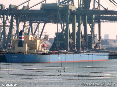
Vessel 538009597 IMO: 9343326,
MMSI: 538009597 callsign: size: x

Find the position of the vessel 538009597 on the map. The latter are known coordinates and path.

marine traffic ship tracker show on live map

The current position of vessel 538009597 is -3.795 lat / 146.587 lng. Updated: 2025-07-07 19:26:28 UTC
Details:


Last coordinates of the vessel:
UTC, -4.3377, 146.871, course: 333, speed: 11.9
UTC, -4.088, 146.742, course: 334, speed: 11.7
UTC, -3.88221, 146.634, course: 334, speed: 11.3
2025-07-07 19:26:28 UTC, -3.795, 146.587, course: 334, speed: 11.3

Track of the vessel in the last 14 days


Most frequent ports a vessels calls at 538009597 (538009597):

Sambu, traffic: 4
Wu-Sung, traffic: 3
Wusong, traffic: 3
Singapore, traffic: 3
Xiamen, traffic: 2
Salvador, traffic: 2
Cape Of Good Hope, traffic: 2
Santos, traffic: 2
Taku Bar, traffic: 2
Port Louis, traffic: 2
Terneuzen, traffic: 1
Port Said, traffic: 1
Ra’S Shukhayr, traffic: 1
Rio Grande, traffic: 1
Ruch’I, traffic: 1

Link to the map:


Find another ship

538009597 (538009597) last ports (portcalls and passsages)

Rio Grande | 2023-12-21 08:28:45
Ust-Luga | 2022-12-23 23:52:28
Ruch’I | 2022-12-23 20:50:14
Land Skrona | 2022-12-18 23:05:05
Terneuzen | 2022-12-16 18:03:10
Antwerp | 2022-12-14 18:01:35
Algeciras | 2022-11-30 02:31:38
Port Said | 2022-11-21 17:16:55
Ra’S Shukhayr | 2022-11-19 17:07:53
Wu-Sung | 2022-10-12 07:10:51
Wusong | 2022-09-07 04:37:05
Wusong | 2022-08-29 16:10:24
Zhenjiang | 2022-08-23 07:30:54
Port Elizabeth | 2022-07-15 07:44:23
Salvador | 2022-06-27 10:05:42
Salvador | 2022-06-12 10:28:11
Singapore | 2022-05-07 11:01:37
Ta-Ku | 2022-04-20 15:38:35
Taku Bar | 2022-04-20 12:34:14
Port Louis | 2022-03-24 20:42:45
Santos | 2022-02-25 15:07:02
Cape Of Good Hope | 2022-01-13 11:40:01
Singapore | 2021-12-24 13:15:00
Sambu | 2021-12-24 13:05:31
Xiamen | 2021-12-09 08:34:23