 vesseltracker.com
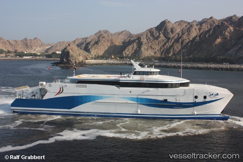
Vessel BLUE ROSE IMO: 9005596, MMSI: 677023600 Passenger/Ro-Ro Ship (vehicles)
Live AIS position:
UTC. 42 nm NE of PENGERANG),
updated 2025-01-09 09:15:19 UTC.
Find the position of the vessel BLUE ROSE on the map. The latter are known coordinates and path.
marine traffic ship tracker show on live map
The current position of vessel BLUE ROSE is 1.83724 lat / 104.64429 lng. Updated: 2025-01-09 09:15:19 UTCCurrently sailing under the flag of Tanzania
BLUE ROSE built in 1990 year
Deadweight:
937 tDetails:
Last coordinates of the vessel:
2025-01-09 09:15:19 UTC, 1.83724, 104.64429, course: -1, speed: 0.5