 vesseltracker.com
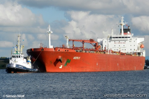
Find the position of the vessel BORAY on the map. The latter are known coordinates and path.
marine traffic ship tracker show on live map
The current position of vessel BORAY is 44.89009 lat / 36.65146 lng. Updated: 2025-11-03 05:54:48 UTCCurrently sailing under the flag of Russia
BORAY built in 2000 year
Deadweight:
74999 tDetails:
Last coordinates of the vessel:
UTC, 44.88867, 36.65181, course: 88, speed: 0UTC, 44.88911, 36.65186, course: 102, speed: 0.5
UTC, 44.88983, 36.65238, course: 123, speed: 0.8
2025-11-03 05:54:48 UTC, 44.89009, 36.65146, course: 117, speed: 0.2