 vesseltracker.com
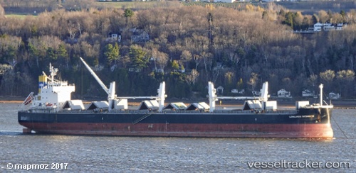
Vessel '352986151' IMO: 9520675, MMSI: 352986151
UTC, 23.94833, -85.28667, course: -1, speed: 10
UTC, 24.01833, -85.62333, course: -1, speed: 11
2026-01-25 11:32:08 UTC, 24.08195, -85.90887, course: 282, speed: 11.3
Live AIS position:
UTC. 135 nm NW of Santa Lucia),
updated 2026-01-25 11:32:08 UTC.
Find the position of the vessel '352986151' on the map. The latter are known coordinates and path.
marine traffic ship tracker show on live map
The current position of vessel '352986151' is 24.08195 lat / -85.90887 lng. Updated: 2026-01-25 11:32:08 UTCDetails:
Last coordinates of the vessel:
UTC, 23.85167, -84.79833, course: -1, speed: 10UTC, 23.94833, -85.28667, course: -1, speed: 10
UTC, 24.01833, -85.62333, course: -1, speed: 11
2026-01-25 11:32:08 UTC, 24.08195, -85.90887, course: 282, speed: 11.3