 vesseltracker.com
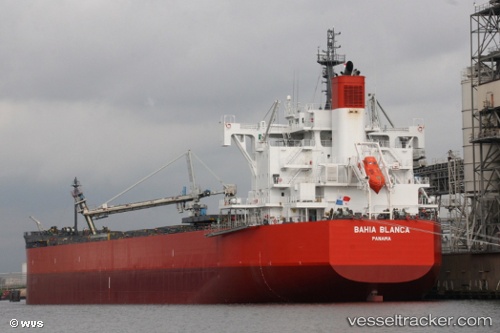
Vessel Bahia Blanca IMO: 9781035, MMSI: 356749000 Bulk Carrier
UTC, -24.16027, -46.29190, course: 56, speed: 0.1
UTC, -24.16029, -46.29171, course: 61, speed: 0.1
2026-02-13 10:21:44 UTC, -24.16001, -46.29206, course: 66, speed: 0.1
Live AIS position:
UTC. Near Guarujá),
updated 2026-02-13 10:21:44 UTC.
Find the position of the vessel Bahia Blanca on the map. The latter are known coordinates and path.
marine traffic ship tracker show on live map
The current position of vessel Bahia Blanca is -24.16001 lat / -46.29206 lng. Updated: 2026-02-13 10:21:44 UTCDetails:
Last coordinates of the vessel:
UTC, -24.16052, -46.29176, course: 52, speed: 0.1UTC, -24.16027, -46.29190, course: 56, speed: 0.1
UTC, -24.16029, -46.29171, course: 61, speed: 0.1
2026-02-13 10:21:44 UTC, -24.16001, -46.29206, course: 66, speed: 0.1