 vesseltracker.com
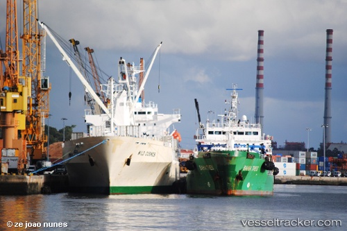
Vessel Bahia Tres IMO: 9428671, MMSI: 224994000 Oil Products Tanker
UTC, 38.71747, -9.09741, course: 256, speed: 0
UTC, 38.71500, -9.09666, course: -1, speed: 0
2026-02-13 13:23:30 UTC, 38.71500, -9.09833, course: -1, speed: 0
Live AIS position:
UTC. Near Lisboa-EXPO),
updated 2026-02-13 13:23:30 UTC.
Find the position of the vessel Bahia Tres on the map. The latter are known coordinates and path.
marine traffic ship tracker show on live map
The current position of vessel Bahia Tres is 38.71500 lat / -9.09833 lng. Updated: 2026-02-13 13:23:30 UTCCurrently sailing under the flag of Spain
Bahia Tres built in 2007 year
Deadweight:
6920 tDetails:
Last coordinates of the vessel:
UTC, 38.71704, -9.09737, course: 281, speed: 0.1UTC, 38.71747, -9.09741, course: 256, speed: 0
UTC, 38.71500, -9.09666, course: -1, speed: 0
2026-02-13 13:23:30 UTC, 38.71500, -9.09833, course: -1, speed: 0