 vesseltracker.com
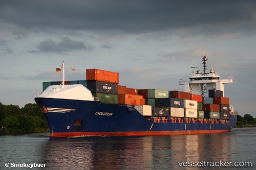
Vessel Bal Boan IMO: 9136228, MMSI: 372023000 Container Ship
UTC, 29.60878, 122.93350, course: 202, speed: 0.3
UTC, 29.60877, 122.93317, course: 183, speed: 0.2
2026-02-12 22:28:11 UTC, 29.60878, 122.93337, course: 188, speed: 0.4
Live AIS position:
UTC. 44 nm SE of ZHOUSHAN),
updated 2026-02-12 22:28:11 UTC.
Find the position of the vessel Bal Boan on the map. The latter are known coordinates and path.
marine traffic ship tracker show on live map
The current position of vessel Bal Boan is 29.60878 lat / 122.93337 lng. Updated: 2026-02-12 22:28:11 UTCCurrently sailing under the flag of Panama
Bal Boan built in 1996 year
Deadweight:
13248 tDetails:
Last coordinates of the vessel:
UTC, 29.60833, 122.93333, course: -1, speed: 0UTC, 29.60878, 122.93350, course: 202, speed: 0.3
UTC, 29.60877, 122.93317, course: 183, speed: 0.2
2026-02-12 22:28:11 UTC, 29.60878, 122.93337, course: 188, speed: 0.4