 vesseltracker.com
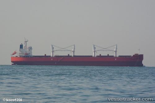
Vessel Baltic K IMO: 9514121, MMSI: 373107000 Bulk Carrier
UTC, 23.01073, 68.49530, course: 303, speed: 8.1
UTC, 23.10547, 68.35182, course: 341, speed: 0
2026-02-11 16:08:27 UTC, 23.10530, 68.35090, course: 1, speed: 0
Live AIS position:
UTC. 56 nm NW of Okha),
updated 2026-02-11 16:08:27 UTC.
Find the position of the vessel Baltic K on the map. The latter are known coordinates and path.
marine traffic ship tracker show on live map
The current position of vessel Baltic K is 23.10530 lat / 68.35090 lng. Updated: 2026-02-11 16:08:27 UTCDetails:
Last coordinates of the vessel:
UTC, 22.86378, 68.72285, course: 302, speed: 9.3UTC, 23.01073, 68.49530, course: 303, speed: 8.1
UTC, 23.10547, 68.35182, course: 341, speed: 0
2026-02-11 16:08:27 UTC, 23.10530, 68.35090, course: 1, speed: 0