 vesseltracker.com
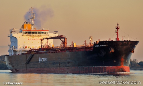
Vessel SAPPHIRE IMO: 9443425, MMSI: 538011812 Oil/Chemical Tanker
UTC, 19.53065, -74.25062, course: 28, speed: 11.5
UTC, 19.53065, -74.25062, course: 28, speed: 11.5
2026-03-09 10:22:55 UTC, 19.53065, -74.25062, course: 28, speed: 11.5
Live Vessel SAPPHIRE Analytics (details, animations, etc.)
Live AIS position: UTC. 44 nm S of Punta de Maisi), updated 2026-03-09 10:22:55 UTC.Find the position of the vessel SAPPHIRE on the map. The latter are known coordinates and path.
marine traffic ship tracker show on live map
The current position of vessel SAPPHIRE is 19.53065 lat / -74.25062 lng. Updated: 2026-03-09 10:22:55 UTCCurrently sailing under the flag of Marshall Islands
Details:
Last coordinates of the vessel:
UTC, 19.20712, -74.43647, course: 23, speed: 12.1UTC, 19.53065, -74.25062, course: 28, speed: 11.5
UTC, 19.53065, -74.25062, course: 28, speed: 11.5
2026-03-09 10:22:55 UTC, 19.53065, -74.25062, course: 28, speed: 11.5